
Logroso to 0k – 19.5 mi (31.45 km), 1,726 ft gain (526 m), 2,336 ft loss (712 m)
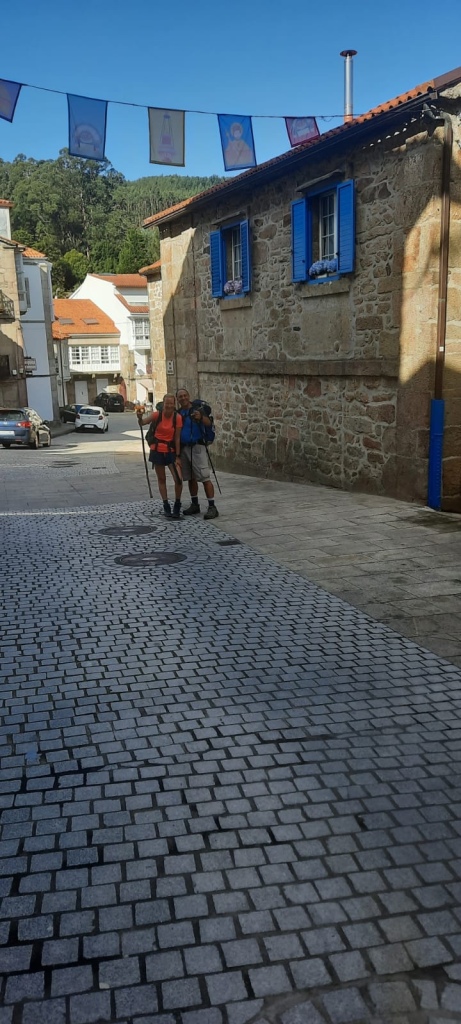
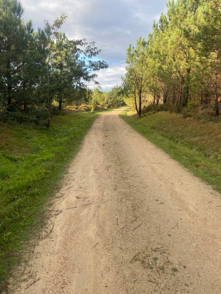
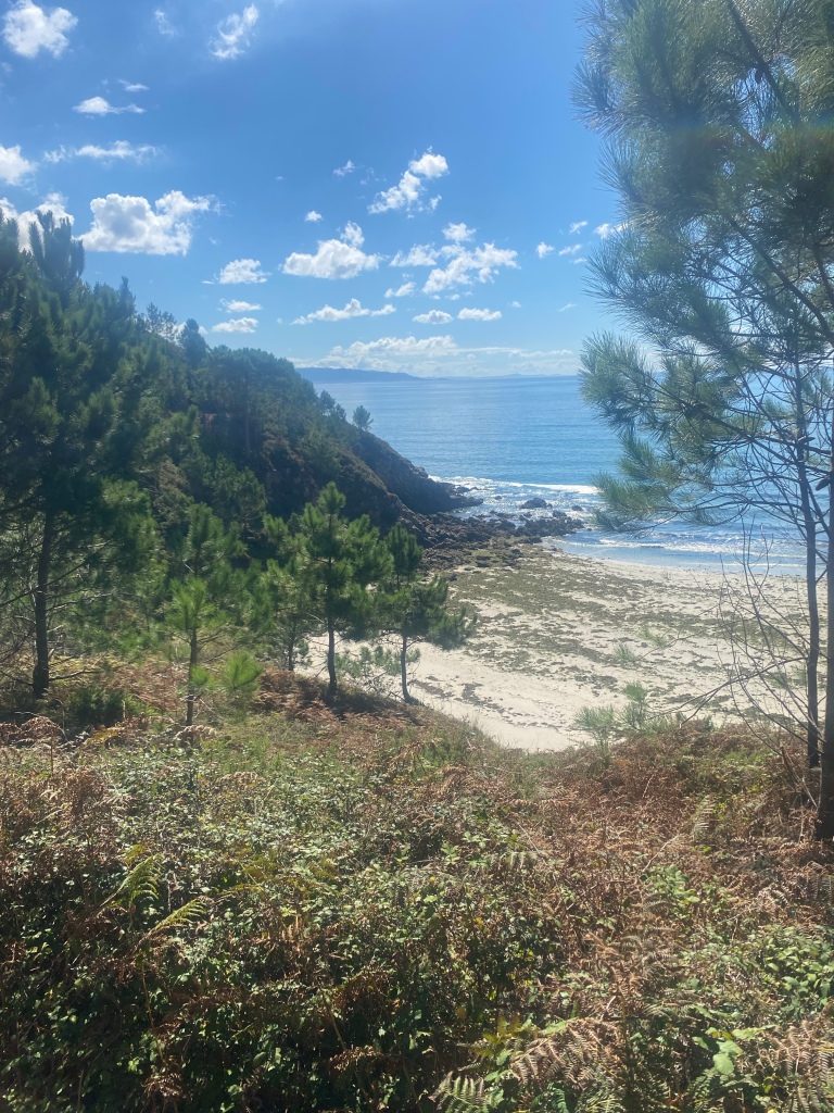
The horrific weather of the past 2 days broke today and I couldn’t have asked for a more perfect last day of walking to “the end of the world” – the 0k marker at Cabo Finisterre. The final day of my 14 days walking from Oviedo to Santiago to Finisterre couldn’t have been any better. The final day of walking was filled with beautiful natural paths through lush green trails eventually opening up to the first views of the sea which is quite spectacular! I walked mainly on my own until I came to the seaside city of Cee where I spotted my friend from the Primitivo Matte from Poland at a cafe with someone I just met last night Lara from Germany. We left the cafe and 2 mins later as I was talking to Lara she shouts where’s my stick in which I laughed where’s my poles – for the first time in 14 days I forget them at the cafe as did Lara 😂. We quickly returned and grabbed them.
We decided to stick together for the final 10k or so to the 0k marker. You first reach the city of Finisterre but your not done walking yet as you have to exit out of town and proceed to walk an additional 3.5k uphill of course to get to the iconic 0k marker and lighthouse where it really sinks in that you cannot walk any further! Of course you do have to eventually make your way back into town the 3.5k but at least it’s downhill 😂.


Thank you for sharing this beautiful journey with all of us!❤️❤️
LikeLiked by 1 person
Thanks Joanne appreciate you following along !
LikeLike
Congratulations Dave! Thanks for sharing your journey.
LikeLiked by 1 person
Thanks Mike appreciate you following along!
LikeLike
David, thanks for the stories and the photos. It’s like I went along for the “ride”. I wish I had your stamina and willpower, as I would love to do this. Thanks again!
LikeLiked by 1 person
Thank you Joe appreciate you following along !
LikeLike
Thanks for sharing your journey David. I enjoyed reading your daily reports. What app were you using to record the trail? Best wishes Duncan
LikeLiked by 1 person
Thanks Duncan – I used WikiLoc app – I had downloaded the gpx file for the Camino Primitivo and then each day loaded that and started navigation as you can use that offline.
LikeLike